
Preserve real-world volumes
LiDAR capture
Keep a measured record of your spaces.
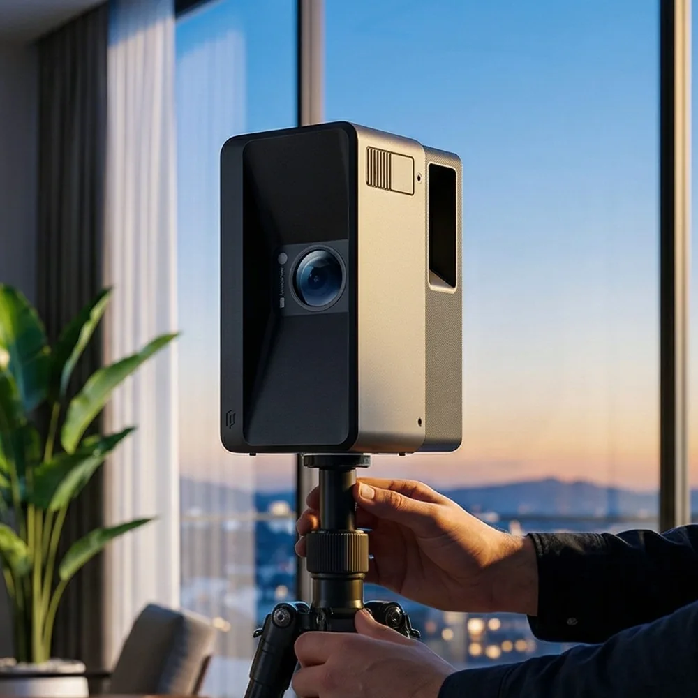
VR Perception provides LiDAR surveys and 3D building scans with the Realsee Galois P4. The data helps document existing spaces and plan layouts.
At a glance
- For documenting buildings and interiors.
- Measured points and panoramas with the Realsee Galois P4.
- Areas, checks and exports agreed in the quote.
- On-site surveys across Switzerland from Greifensee, Zurich.
Keep the dimensions, not just the appearance.
A photograph shows a room’s appearance from one viewpoint. A LiDAR survey measures many points on visible surfaces. Using the Realsee Galois P4, we collect spatial data and photographic panoramas to document a place and prepare its digital representation.
Each stage has a different purpose: points describe measurements, 3D surfaces make volumes easier to read, and photographs add materials and colours. This representation helps people consult the existing space remotely and share a basis for discussion when planning a change.
For a hotel or shop, scanning can be combined with a 360° tour assignment. Before dimensions are used for renovation, we define the areas to capture and the checks required. Hidden areas, reflections and difficult surfaces need to be identified. A photographic appearance does not, by itself, establish measurement accuracy.
What it brings you
Document existing conditions
Keep a representation of the volumes and layout at the time of the survey.
Prepare discussions
Share a working basis with your teams, an architect or a renovation company.
Plan ahead for works
Review the space and selected dimensions in the delivered data, within the validated accuracy.
An example to explore
From a real space to its digital counterpart.
This room comes from an actual P4 survey. Switch from measured points to reconstructed surfaces, then to the photographic rendering. The viewpoint stays the same so you can compare what each stage adds. Rotate the view to understand the volumes. The cutaway opens the room for inspection; it does not indicate a missing building façade.
Choose a step to switch views.
P4 360° photographs cover the surfaces of the same space.
An excerpt from a real P4 scan, cut away to reveal the interior.
What can it be used for?
Hotel
Document rooms and circulation areas before a renovation project.
Restaurants & retail
Study a new layout using the current arrangement as a starting point.
Buildings & heritage
Keep a spatial record of existing conditions and share the data with those involved.
How we create it
Define the useful result
We specify the spaces, required measurements and target software.
Scan & check
We plan the captures to cover the site and identify hidden areas.
Prepare the data
We check coverage and prepare the agreed formats for your use.
What you receive
- Documented capture scope
- Point cloud to suit the project
- Agreed visualisation of the spaces
- Specified exports and accuracy limits
The capture does not replace a certified surveyor’s survey. Plans, a BIM model and detailed reconstruction require further assessment and work.
Frequently asked questions
How does it differ from a 360° tour?
A tour shows what a place looks like. LiDAR captures its geometry: they complement each other, but their deliverables differ.
Can everything be measured automatically?
No. Reflective surfaces, thin objects and hidden areas may limit the survey. Required dimensions and accuracy are validated for the project.
What determines the cost?
The quote depends on floor area, access, required detail and exports. See the factors that affect pricing.
How long will the project take?
The timetable depends on scope, site and team availability, and review stages. We agree on dates when preparing the quote.
Where do you work?
From Greifensee in the canton of Zurich, we work in German-speaking Switzerland, Romandy and Ticino. We also consider international projects on request.
Can you produce versions in several languages?
We agree on languages and what needs adapting in the quote. Text, subtitles and other versions depend on the chosen format.
How should we prepare the space for a scan?
Tell us which areas can be accessed, which dimensions matter and whether any surfaces are sensitive. We agree what to capture and what to check.
What about your project?
Tell us which spaces you need to survey and how you plan to use the measurements.